Are you interested in finding the floodplain information when preparing to build on your lot in Coastal Mississippi?
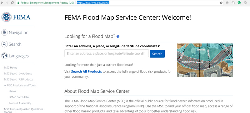
This tool from FEMA allows you to enter your address or GPS coordinates to get a general idea of what the areas current flood building requirements are.
This page will walk you through the process of finding your building elevations specs. The only sure way to know what your elevation requirements are is to get an elevation survey from a licensed surveyor. If you need help building a home in the floodplain, you can count on an experienced home builder like Thornhill Construction to get an elevated home done right. Call Jason directly at 228-424-7773
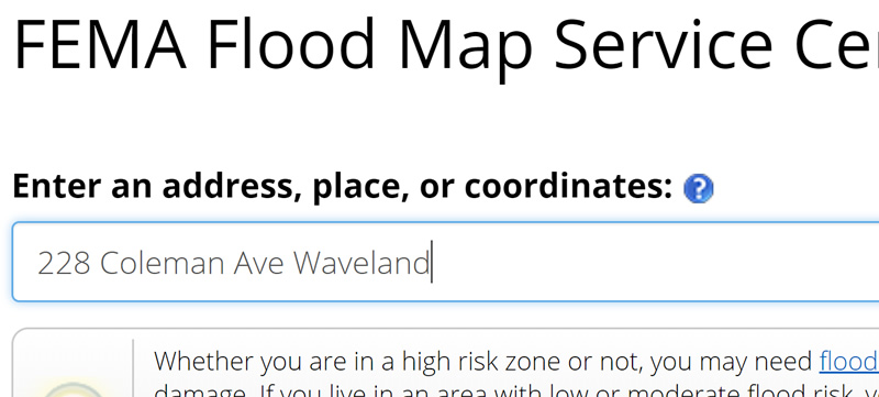
Enter your address into the form to get a section of flood maps to appear. You can also enter the GPS coordinates of the lot you are searching on.
Enter your lot’s address on the site

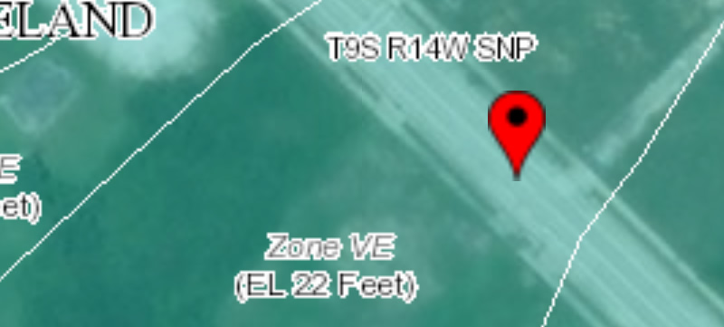
Once you enter your address click the search button and below a map with flood information will appear. The address marker will be geolocated on the map. The marker will be inside of a group of white lines. These white lines will have flood determination inside of them as well. In this case, it is a Zone VE-EL22 . This would mean your home would need to be 22 feet above sea level to be built. In certain areas, you could also have free board requirements which could raise this height an extra 1 to 2 feet.
View Your future home’s flood map from FEMA

Here are a couple other tools that may help you in the process of building your home on the Mississippi Gulf Coast. Remember, if this has been helpful, Jason Thornhill, 228-424-7773 is a quality general contractor that can get your project completed properly and on time.
Find the estimated elevation of a lot on the Mississippi Gulf Coast
Find the owner’s of a lot you would like to purchase on the Mississippi Gulf Coast
Coastal Home Building Guide for Mississippi
